
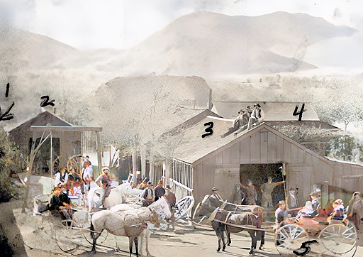
1882 site of what was Joseph's Market in Lone Pine, CA (closed 2018)
1. Zaun Ice House, 2. Wagon Shed, 3. Blacksmith Shop, 4. R.C. Spear Home
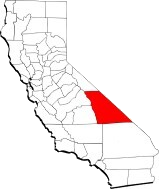
Inyo
County is available for adoption.
If you have a local connection to Inyo County or
an interest in California in general,
Please consider joining the CAGenWeb as a County
Coordinator.
Contact Bob
Jenkins if you are interested.
In addition:, we would appreciate any
contribution that you would like to make to this
site: biographies, obituaries, birth,
marriage, death info, grave info,
photographs....etc
Inyo
County, California
The county itself was officially formed on March 22, 1866, carved from the earlier unorganized Coso County, which had been created in 1864 from parts of Mono and Tulare Counties. Additional boundary adjustments followed in 1870 and 1872 as the region took its present shape.
During the 19th century, Inyo County became a crossroads of pioneering, mining, ranching, and railroading, with settlements rising along the Owens River and at the base of the Sierra Nevada. The region later became central to the Owens Valley water conflicts, a defining chapter in California’s development. Today, Inyo County spans more than 10,000 square miles—California’s second‑largest county—yet remains one of its most sparsely populated, with Independence serving as the county seat.
From the heights of Mount Whitney to the depths of Death Valley, Inyo County holds some of the most dramatic landscapes in North America.